SATSDIFACTION: Satellite Data and Spatial Data Infrastructures for an Evidence-Based Regional Governance

Status: Ongoing projects

The project promotes improved urban planning and development with satellite and spatial data. It fosters evidence-based decision-making to help municipalities plan more accurately and enhance the urban environment.
The Significance of the Project for Riga
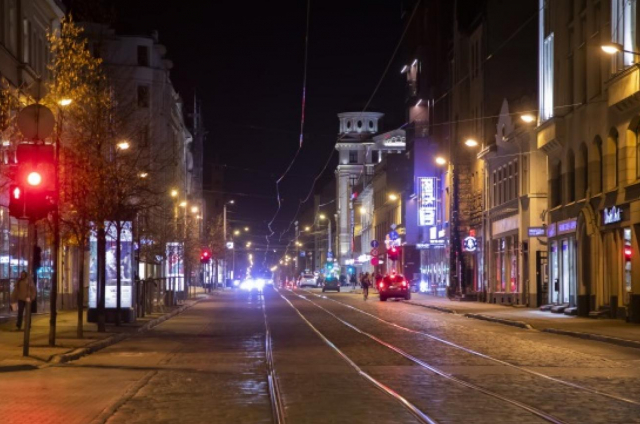
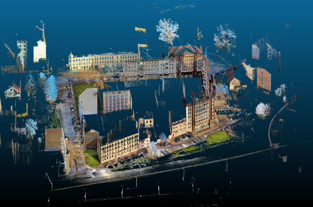
For Riga to grow smarter and more sustainably, decision-makers need accurate data on urban development, infrastructure, and the environment. Satellite and spatial data can provide detailed insights into the urban landscape, enabling more effective planning.
Target of the Project
To foster the use of data in urban planning for more informed and sustainable decisions. The project aims to enhance Riga’s development programme by enabling more accurate urban analysis and better solutions for residents.
Benefits for Residents
✔ More precise city planning that improves infrastructure and quality of life;
✔ More efficient use of resources to support smarter transport, green areas, and housing solutions;
✔ Improved environmental monitoring and reduced pollution;
✔ A more modern, data-driven city administration using the latest technologies.
Project Activities
✔ Analyse local policy instruments and identify areas for improvement;
✔ Explore and test the use of satellite and spatial data in urban planning;
✔ Exchange best practices and knowledge with other European cities;
✔ Develop an action plan to improve Riga’s development programme;
✔ Inform and engage residents in the urban planning process.
Project Results
✔ A comprehensive report on the use of satellite and spatial data in urban planning;
✔ An action plan developed to improve Riga’s development programme;
✔ Improved decision-making processes, making city development more targeted and efficient.
Funding, Duration, and Partners
Funding source: Interreg Europe Programme 2021 – 2027
Total project budget: EUR 1 988 700
Total budget for Riga: EUR 182 115
EU funding for Riga Municipality: EUR 145 692
Co-financing by Riga Municipality: EUR 18 211
National Budget Grant: EUR 18 211
Implementation Period: 01.05.2023 – 30.04.2027
Project Partners: Veneto Region (Italy), Sviluppo Basilicata S.p.A (Italy), Emilia-Romagna Regional Agency for Prevention, Environment and Energy (Italy), NEREUS – Network of European Regions Using Space Technologies (Belgium), Scientific Institute of Public Service (Belgium), Regional Government of the Azores (Portugal), Occitanie Region (France), Podkarpackie Region (Poland), Riga City Municipality (Latvia)
Contact Information
Andris Ločmanis
City Development Department, Riga City Council
E-mail: andris.locmanis@riga.lv
Project Links
RDPAD – Use of satellite and spatial data for evidence-based regional governance (SATSDIFACTION)
Interreg Europe – SATSDIFACTION

Related Projects


Unmanned aircraft flight monitoring, protection of public places and critical infrastructure
Read more