Riga Shares Experience in Developing the City’s Digital Twin at an International Conference in Prague

Representatives of the Riga City Municipality participated in an international event on 2 March, where city experts, researchers, and technology companies shared their experience in the use of digital twins, 3D city models, and geospatial data for urban governance. The event was organized by Esri, one of the world’s leading developers of Geographic Information System (GIS) technologies, whose solutions are widely used in urban planning, infrastructure management, and data analytics. The ArcGIS platform, developed by Esri, enables cities to integrate diverse geospatial datasets and develop digital twins that support data-driven decision-making.
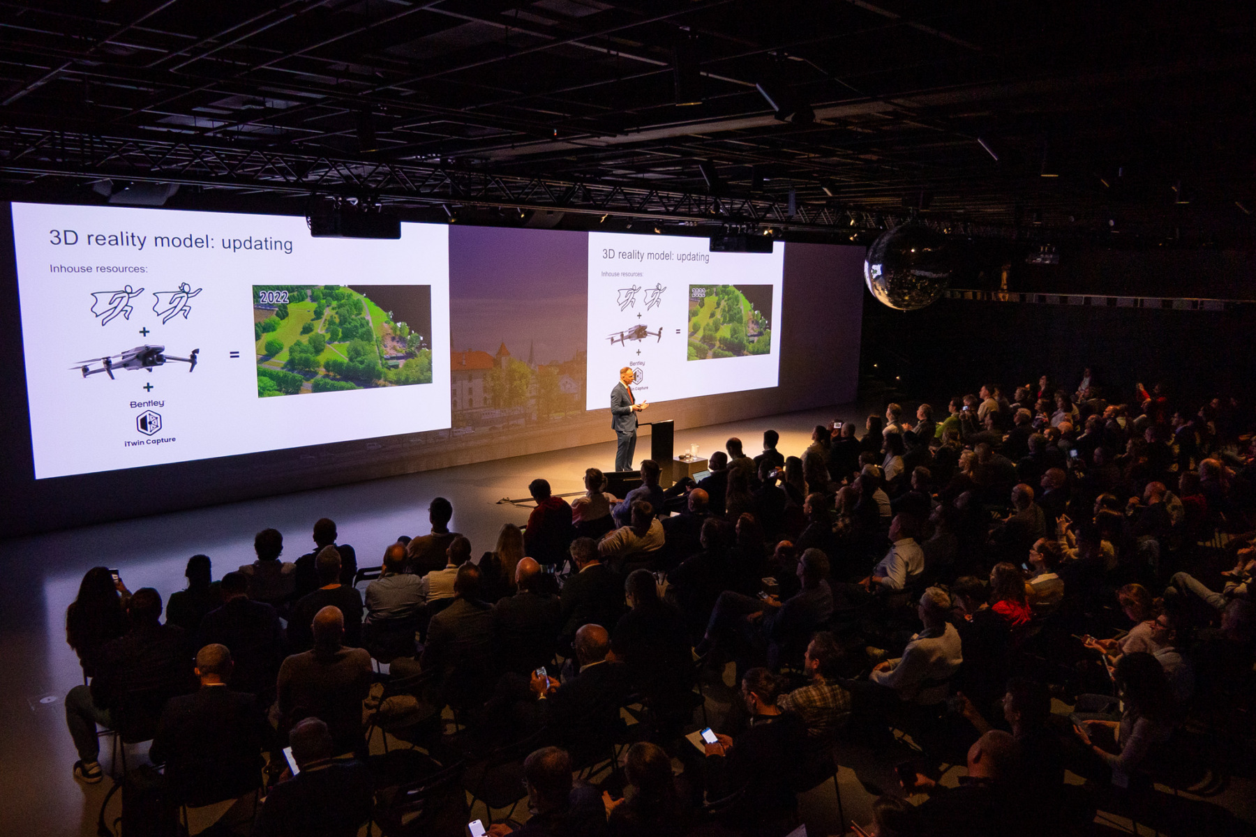
During the event, Jānis Akmentiņš, a representative of the City Development Department of the Riga City Municipality, presented Riga’s experience with the presentation titled “Riga Geospatial Digital Twin: A Shared Model Serving Both City Operations and the Public.”
The presentation demonstrated how Riga is developing its geospatial digital twin—an integrated 3D model of the urban environment that combines multiple geospatial datasets into a unified system. The model supports both daily municipal operations and public information access.
The digital model enables the city to:
- visualize urban infrastructure and built environment in three dimension,
- integrate various city datasets into a unified platform,
- analyze urban development scenarios,
- improve data accessibility and transparency for the public.
The event also provided an opportunity to learn from the experiences of other cities developing digital twins. Discussions highlighted that successful digital transformation is not only about technology—human expertise, the willingness to experiment with new approaches, and collaboration between different partners are equally important.
“The development of digital twins is not only about technology – it is about people, the courage to try new approaches, and the willingness to use data to achieve better outcomes.”
— Diāna Korbe, Head of the Board of Geomatics, City Development Department, Riga City Municipality
A symbolic comparison was also highlighted during the conference: data is the new soil—but to generate real value from it, skilled professionals are needed who can analyse, interpret, and develop these datasets.
The event programme can be explored here:
https://storymaps.arcgis.com/stories/1158323ccb1343a9bed8b656190a332b