GPS-Based Monitoring and Optimization of Public Transport Lanes and Green Wave Efficiency


Status: Realized projects
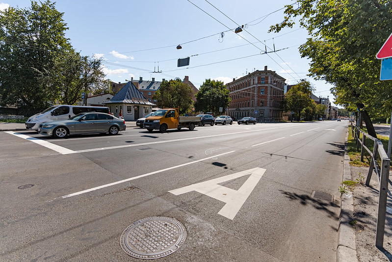
The project developed a digital solution for monitoring the operation of public transport lanes and “green wave” corridors using GPS data from intercity, international, and Riga city public transport routes. The system enables tracking of actual travel speeds, identifying delays, and responding promptly to traffic disruptions, thereby improving the overall efficiency of public transport operations.
The Significance of the Project for Riga
Previously, Riga City Municipality lacked a unified system for monitoring public transport lanes and green wave segments. As a result, it was not possible to regularly track actual travel speeds at different times of day or week, nor to promptly identify delays. This hindered data-driven decision-making and reduced the overall efficiency and reliability of public transport.
Target of the Project
To design and implement a digital monitoring solution that provides real-time tracking of public transport travel speeds within dedicated lanes and green wave sections, supporting data-based decision-making for traffic management and infrastructure improvements.
Benefits for Residents
✔ Improved regularity and speed of public transport services
✔ Reduced delays and more efficient traffic flow in dedicated lanes
Project Activities
✔ Collection and real-time analysis of GPS data from intercity and international bus routes
✔ Analysis of historical (and, in the future, live) GPS data from “Rīgas satiksme” routes
✔ Evaluation of travel speeds within public transport lanes and green wave segments
✔ Identification of typical delay patterns and modeling of mitigation scenarios
✔ Development of an alert system for detecting irregular delays
✔ Collaboration with bus operators for continuous data sharing
Implementation Area
Entire administrative territory of Riga City Municipality
Project Results
✔ A centralized monitoring system for public transport lanes and green wave segments implemented
✔ Enhanced efficiency of public transport operations and improved traffic flow management
✔ Creation of a comprehensive database on actual travel speeds to support future planning and optimization
Funding, Duration, and Partners
Funding source: Riga City Innovation Fund
Total budget: EUR 11 737
Implementation period: 2023
Project partners: Riga City Council’s Spatial Planning and Mobility Department; “Rīgas satiksme” Ltd – data provider and collaborator; intercity and international transport operators.
Contact Information
Jānis Sproģis
Head of the Traffic Management Center
Spatial Planning and Mobility Department
Riga City Council
Phone: +371 67012763
Email: janis.sprogis@riga.lv
Related Projects

Implementation of a virtual reality shooting training system to strengthen the capacity and skills of Riga Municipal Police
Read more

Augmented reality tour pilot in Riga’s Great Cemetery to enhance digital access to cultural heritage
Read more

Development of a digital 3D virtual tour to improve accessibility of Mežciems Social Care Centre
Read more