First datasets on Riga available for download on GEO RĪGA
In order to ensure quick and easy access to data, Riga City Council is taking the first steps towards opening up the city’s geospatial data by publishing the first data sets about the city on the portal “Geo Rīga” (GEO RĪGA). The data are available for download in SHP, GPKG, DFX formats and can be freely used by anyone.
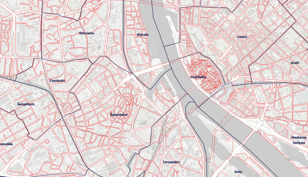
The data are available on the portal georiga.eu under section “Open data“. The first available data to download are the basic Rīga data that residents are most interested in – the boundaries of Rīga, its suburbs and 58 neighbourhoods; city addresses with location on buildings or land units; street names and centre lines; red lines of streets and structures in the administrative territory of Rīga.
Open Data provides a fast, easy and free access to high quality and diverse geospatial information about Rīga, which is especially important for students, academic personnel and researchers. Data sources include information collected by municipal departments, plans for the execution of new buildings, and orthophoto maps. They are available for download in SHP, GPKG, DFX formats, making it easy to integrate them into other programmes or databases. In 2024, most of the spatial data published on the portal will be available for download. The next data sets are expected to be published at the beginning of the year and will relate to municipal property and transactions.
Information about the administrative territory of Rīga is regularly updated. A total of 16 thematic apps and maps have been developed during the year, highlighting spatial plans, the city council’s investment plan, the boundaries of sites of national interest, street networks and addresses, cycling infrastructure, municipal playgrounds and other data of interest to residents. As more and more residents ask for information related to environmental quality, GEO RĪGA provides information on the city’s geodetic network points, secular trees, tree planting planned for 2024, specially protected nature areas, spatial information on pollution and waste management.
One of the most popular sections of the portal is the 3D models of Rīga’s neighbourhoods, which provide the opportunity to analyse the location and general condition of objects, assess the visibility of an object (building), shading and solar exposure, as well as to discuss various spatial solutions.
By extending the portal’s capabilities, a new function will be introduced in December that will allow the city council to organise public participation activities on the portal, ensuring effective communication and feedback from residents, for example by organising public discussions or surveys.
In 2024, the GEO RĪGA portal will be gradually updated with new data layers and thematic maps. For example, citizens will have full access to a reality model of the historic centre of Rīga, its conservation zone and 13 built environment protection areas, as well as orthophoto maps of these areas with a resolution of 2cm/pix. Work has also started on the spatialisation of energy performance data and the cultural heritage value of historic buildings and historic green spaces, and it is planned to publish information on the approved drawings for the glass covering of the loggias of serial-type apartment buildings.
GEO RĪGA was launched in February 2023. It is most often used by neighbourhood activists, investors and entrepreneurs, innovators and researchers, and public authorities.